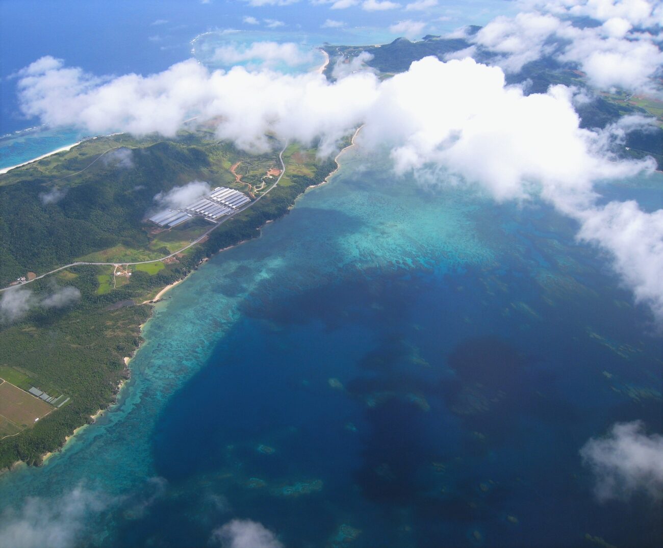
After discovering 7,000 unknown islands after a new land survey, Japan practically doubled its island size.
Japan’s New Island Count
According to Kyodo News, the number of official islands in Japan is expected to double from 6,852 to 14,125 after the government conducted the first survey in 1987 of its territorial waters.
Japan used advanced mapping technology in the first geographical study of the archipelago in 35 years.
“An accurate understanding of the number of islands is an important administrative matter that is related to the national interest,” the legislator said, according to Kyodo News.
Here’s Why the Island Count Increased
The Geospatial Information Authority of Japan is expected to release a report on its updated map of the nation in March. Currently, Japan has 6,852 islands, but that figure will rise to 14,125 islands, Kyodo News reported.
The recount came after a politician in the ruling party said that an accurate understanding of the number of islands in Japan was an important matter that’s “related to the national interest.”
Japan’s islands were counted automatically using digital mapping processes and an electronic land map created in 2022 by the Geospatial Information Authority (GSI) of Japan, a national organization that carries out survey and mapping activities. The final count was also cross-referenced with aerial photographs and other data.
Only islands with a circumference of at least 100 meters were included in the final count. If all of the land masses had been counted regardless of size, the final figure would have exceeded 100,000, Kyodo News said.
New Counting Method, New Islands
Japan’s old counting method involved the analysis of paper maps and focused on any land mass with a circumference greater than 100 meters. As a result, thousands of islands – including many in lakes or rivers – were omitted from the list. Volcanic activity has also led to the formation of more islands.
The new survey, conducted by the Geospatial Information Authority of Japan, isn’t expected to increase the country’s territory but will give officials a more accurate picture of its terrain.
Get the news you need at It’s On News.


